Nothing says relaxing vacation like driving a 2002 Nissan Pathfinder across unknown territory, avoiding potholes, sheep, and a tumble over the side of a mountain. These are some of the issues I encountered while self-driving in central asia.
Before deciding to rent a car, and drive the Pamir Highway, I heavily researched the options. We decided to rent a car, and self-drive Kyrgyzstan and Tajikistan because:
- If we picked up the car in Bishkek, Kyrgyzstan and dropped it back off in Kyrgyzstan it was actually significantly cheaper than hiring a driver
- We had the control to set the pace of our trip and decide our route
- I’m obsessed with road trips and making playlists. I wanted the option to listen to music or podcasts and thought a driver may not want to listen to my tunes or some serial-style crime podcast in English
- I actually like driving, and don’t get to do it very often anymore living in Toronto.
The first challenge was finding a place to rent a car as Kyrgyzstan did not have the usual rental car agencies like Avis, Hertz, etc. so I went to my new favourite site for all things Central Asia—Caravanistan. I messaged all of the rental car places they recommended (in 2019) based out of Bishkek and picked the one that best fit our needs.
We took a Yandex (pretty much Uber that you can use in Central Asia) from our hotel, and he took us down a dirt road, over some potholes, and down a back alley to a garage where we picked up our car. The process went smoothly, they gave us the keys and off we went. I forgot to look up the speed limit before we left on our trip so I asked the men at the rental car place and they told me it was 70 on the highways and 20 in cities. I assumed this was mph since 20 km/h is a snails pace and in cities in Ontario, Canada the limit is 50 km/h. How wrong I was—more on this later.
1. Don’t trust map apps in this part of the world
When emailing around for rental cars I asked for their recommendation on what to use for navigation. They said to use maps.me so I downloaded the app, and the offline maps for Kyrgyzstan and Tajikistan before our trip.
Just getting out of the alley where we picked our car up from, maps told us to drive through a park to get to the main road. We quickly realized this was not a viable route, and somehow found our way onto the paved highway. On the first day our journey seemed to take a little longer, but this wasn’t that big of a deal.
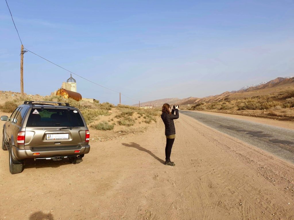
Before we left I had planned our route to Tajikistan from Bishkek to Karakol, Karakol to Naryn, Naryn to Sary-Tash, and Sary-Tash to Tajikistan using Google Maps. Some of our driving days were supposed to be 10 hours according to Google Maps, but their time estimates didn’t take into consideration that you would have to slow down for potholes, cows, sheep, horses or to not drive the car off the side of 3,700m mountains.
The time delays sucked, but really weren’t a big deal in the grand scheme of things. We got to one point in the road where we were finally driving along a nice bit of paved road, but maps told us to deviate and go up this smaller, mountainous road. We figured, what do we know about this part of the world, maps must be right (ignoring all of our earlier lessons), and turned on to a verrrrry muddy mountain.
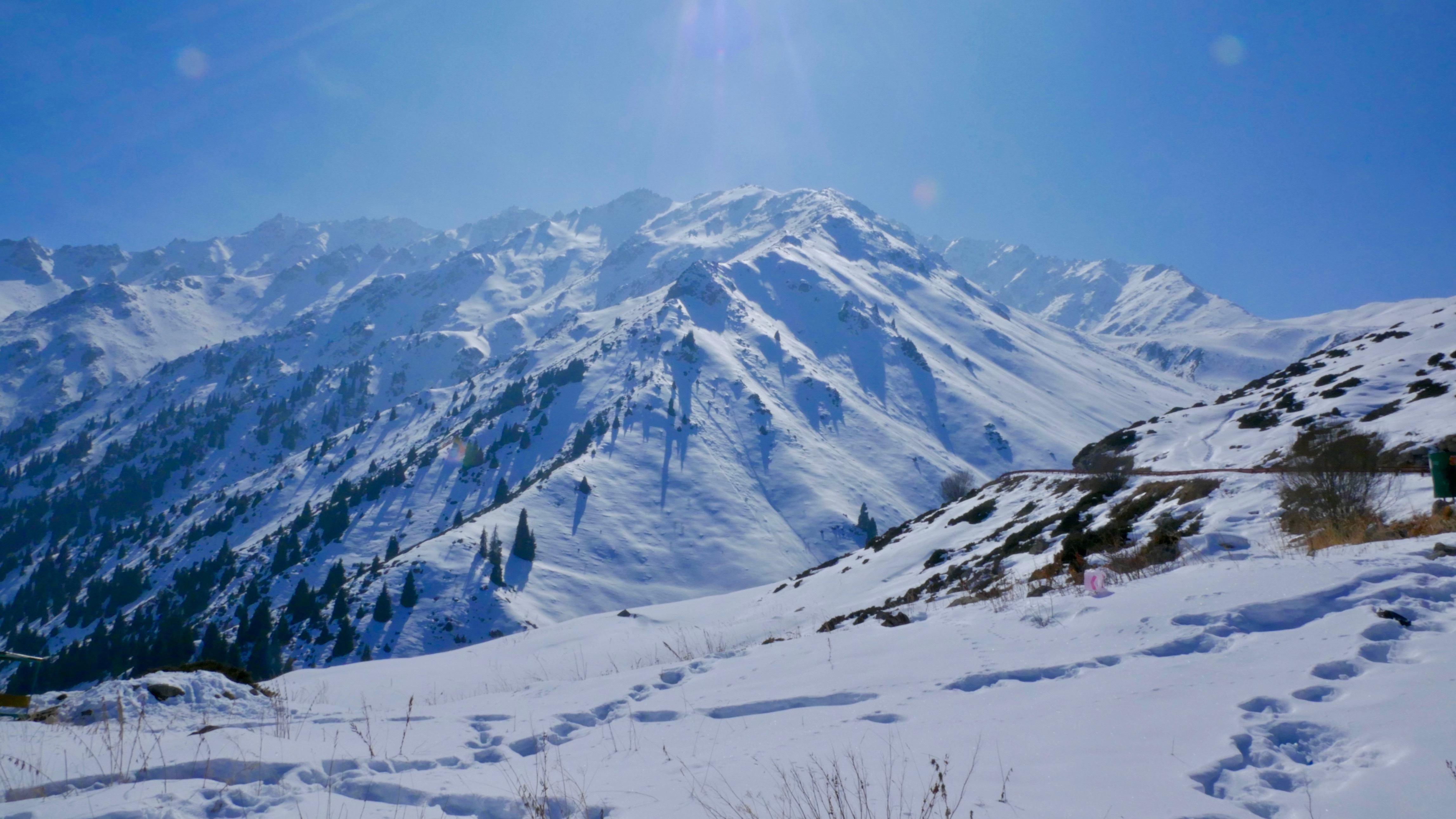
Being mid-March, the snow on the mountains was melting on to the dirt roads, and forming nice mud puddles and grooves. We had to get a bit of a running start to just get over the initial puddle and up the first hill. This was roughly a little larger than the width of the car. Eventually we ended up in a really bad bit of the mountain, the mud grooves were controlling which direction the car was moving, and I was unable to steer. There was no way we would be able to turn around so we kept going.
We eventually got out of mud mountain (not its real name), and followed maps on to a paved road (thankfully). Maps then decided to tell us to turn left down the only road that could take us to Sary-Tash which was of course covered in 4 feet of snow for as far as the eye could see. After asking two separate groups of locals, we were told the road was closed until June and the only road to Tajikistan is back through Bishkek (which we left three days before) and on to Osh (supposedly a 14 hr drive from where we were in the mountains).
2. There are no lights on highways or the majority of roads
After we were told we had to turn around, we realized we would not make it back over the mountain before sundown so we stopped in the biggest village we could find, and stayed with a nice family (more on this in this post).
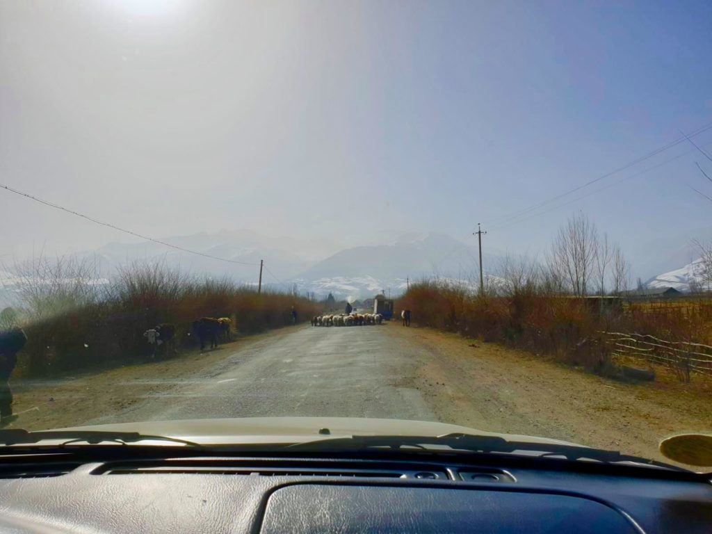
The sun had set around 7:00 p.m. on previous days, and we did not want to risk killing ourselves (or some sheep). On our first day driving from Bishkek to Karakol we learned this lesson when I struggled to see a man herding his flock home atop of his horse and had to slow the car down for the safety of not only ourselves, but others.
3. They aren’t exaggerating when they warn you about their roads
From emailing people in Kazakhstan and Kyrgyzstan about renting cars or self-driving, I was often warned about potholes. Originally being from a small town in Canada I thought I had experience with potholes, but I was wrong. Their potholes very much affect the driving over there. These potholes are sometimes one after another which affects the speed you can drive the vehicle. This also impacts the way everyone drives. There will often be a car coming from the opposite direction driving in your lane to avoid a huge pothole in their lane. They are often also speeding towards you.
4. The speed rules in Kyrgyzstan are a little different
After seeing everyone speeding around, I figured the speed limit must be 70 mph on highways instead of km/h. I was wrong and got pulled over within our first two hours of driving. Turns out where I was driving was considered a “built-up area,” which was pretty much a highway with two stores along the side of it, but no houses. In this area the limit was actually 50 km/h and in villages or cities it is usually 20 km/h. On the longer drives the majority of the paved roads were going through villages so I would get excited thinking I could drive a little faster than a crawl, but was quickly mistaken.
Reading other blogs before going, I was prepared to be charged a large fine so when the cop pointed to 1000 in the book, I thought it was in USD and mentally panicked as I don’t just carry $1000 on my person. Turns out it was 1000 KGS (roughly $15 USD) so we paid the cops and were on our way.
For the full story, please click here.
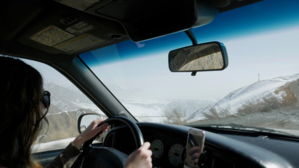
5. Not many women drive
As it’s the norm for women to drive in Canada, I did not think it would be seen as abnormal driving in Central Asia. In 2019, we often received a lot of stares with me behind the wheel, and strange reactions when people heard I was one the one driving. This didn’t really impact my driving, but just something to be aware of. Someone spit on my car with me behind the wheel when I was driving in Tajikistan. I still don’t know if this was because the car had Kyrgyzstan plates or if it was because I was a woman, or maybe a combination of the two.
6. Relations are Evolving in Kyrgyzstan and Tajikistan
When I went in 2019, Kyrgyzstan and Tajikistan had some tensions, but not to the point there has been in recent years. I suggest verifying real time before attempting border crossings between Kyrgyzstan and Tajikistan.
My Experience in 2019
Before we entered Tajikistan we heard from a few different Kyrgyz people that the roads would be worse, we can’t drive through Batken because there are landmines or we will be shot. None of this was true in the end, and we just chalked it up to a potential lack of information in small villages. We don’t know if this is true or not.
When we were in Tajikistan we had a few odd incidents driving a car with Kyrgyzstan license plates. When we would get out of the car people would often ask us if we were from Kyrgyzstan, and we would tell them no and advise them of where we were from.
Final Thoughts on Self-Driving in Central Asia
Overall, I have no regrets about renting a car, but the biggest thing I wish I knew before renting a car is a toss up between how wrong the estimated times would be on Google Maps, or that the road to Sary-Tash would be closed until June.